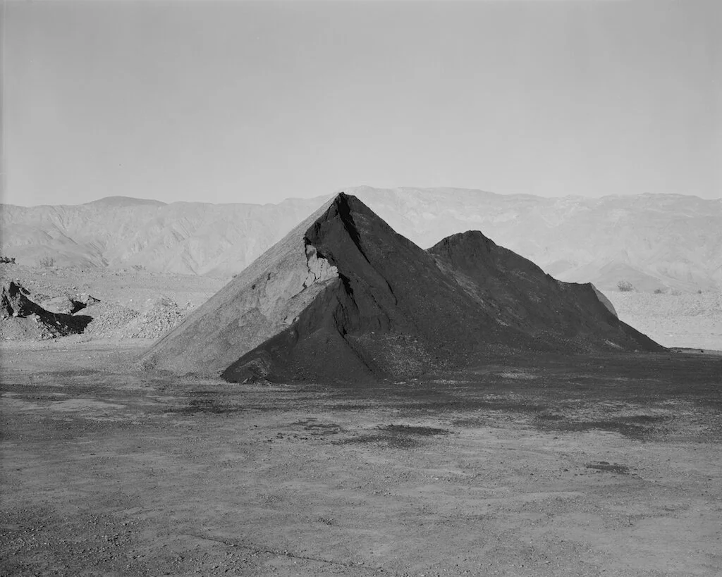
1986 | Pit # 611, Clark Valley
There is a gravel quarry at the foot of Coyote Mountain just east of the little town of Borrego Springs. (The ‘springs’ are finite; golf courses, farms, and spreading developments are drawing water from a deep aquifers at four times the rate of their recharge. Hydrologists were troubled by the fact that the water samples they had drawn were 5000 years old, and it is still not known exactly how, when, and from where, the aquifer is naturally replenished.)
This pictured element is special to me since I can see geology in action – a mountain reduced to gravel, mixed with petroleum tar, to be laid down for highway repairs. Although this pile of treated gravel is the ‘blackest’ thing in the desert landscape, like any deep value, to sensitive people, it is luminous.


